Laser scanning surveying in the real estate industry
In real estate and construction, plans are the foundation of everything. When it comes to new buildings, experts can rely on them to get the job done. But it’s not always just about putting up new buildings. In many cases, it is about existing properties that are either being renovated or converted. In this case, old plans are sometimes worthless. Often they no longer fit because they were not properly maintained. In the past, time-consuming surveying work had to be carried out in this case. Today things are different. With the help of laser measuring devices, the issue is quickly dealt with.
3D surveying with the help of laser technology
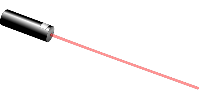
3D laser scanning surveying has established itself in recent years as the best of all solutions to such problems. It can be carried out with very sensitive equipment. However, the principle behind it is very simple and understandable for laymen.
A measuring system is set up in a room. It sends laser beams in all directions. To be precise, it is a rotating laser. They are reflected back at the walls and at fixed points and then collected again. The time between these two processes is converted by the device and expressed in distances. It is similar to speed measurement by the police. There, too, an almost identical laser technology is used.
The only difference is that with a 3D measurement system, the number of points is astronomically high. So high that a so-called point cloud is created – purely virtually, of course. On the basis of this quantity, it is possible to measure very large rooms to an accuracy of a few millimetres within a short time. Automated room plans of entire buildings are created. As can be seen here in the video:
The computer will determine corresponding structures from the many points and map buildings. For example, a church that is to be renovated or a factory building. It doesn’t really matter. In a few days, everything necessary can be measured.
Since these spatial plans contain exact distances, the usual construction plans can be generated from the building plan. In this case, a 2D CAD drawing is generated from 3D. They are a great help for the construction managers in their operative work. They contain all floor plans neatly with distances and heights, etc.
In addition to its function as a measuring tool for construction work, the technology is also popular with property owners. Especially when larger buildings are involved, as is common in the commercial sector. In this way, a complex facility can be depicted well and becomes more presentable to potential buyers. The models are much more descriptive than construction plans or photographs. The latter methods are limited to 2 dimensions.